Bathymetric Survey | Teqroniqh Trading & Technical Services Co. WLL
Bathymetric Survey
Professional Hydrographic Mapping & Subsea Survey Solutions
At Teqroniqh Trading & Technical Services Co. WLL, we provide comprehensive bathymetric survey services designed to deliver accurate, high-resolution mapping of underwater terrain and water bodies. Our advanced hydrographic solutions support a wide range of applications, including marine engineering, coastal development, environmental monitoring, port infrastructure, and offshore operations.
Bathymetric surveys are essential for understanding underwater topography, assessing waterway navigability, identifying submerged hazards, and supporting informed decision-making for marine and coastal projects. With state-of-the-art surveying equipment and expert hydrographic personnel, we deliver precise data for complex marine environments.
From shallow coastal waters to deep offshore zones, our bathymetric services combine cutting-edge technology with professional expertise to provide reliable, actionable insights that support project success and environmental stewardship.
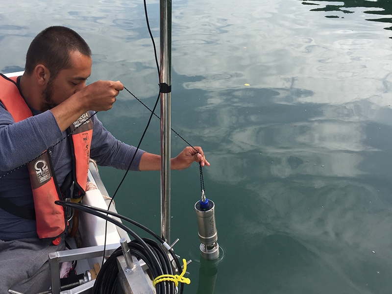
Professional bathymetric survey operations at sea
Our Bathymetric Survey Services
Hydrographic & Bathymetric Surveying
We provide comprehensive hydrographic surveying services for a wide range of marine, coastal, and inland water projects. Using advanced sonar technology and precise positioning systems, our surveys deliver detailed underwater topography data.
Survey capabilities include:
  • Multibeam Echo Sounding (MBES)
  • Singlebeam Echo Sounding (SBES)
  • Side Scan Sonar (SSS)
  • Sub-Bottom Profiling
  • Real-Time Kinematic (RTK) Positioning
  • Satellite-Derived Bathymetry
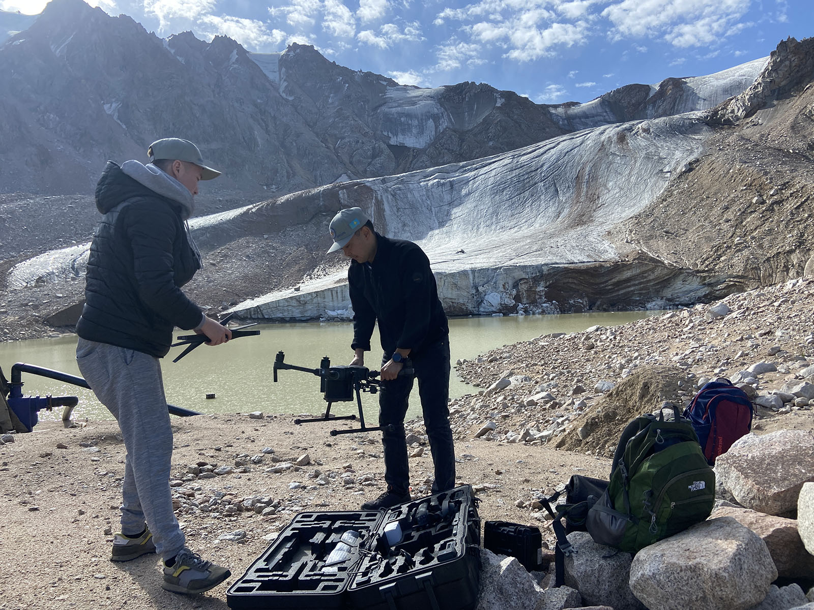
Hydrographic and bathymetric surveying equipment
Marine engineering and infrastructure survey support
Marine Engineering & Infrastructure Support
Our bathymetric services provide critical data for marine engineering, infrastructure development, and coastal protection projects. We support project planning, design, and construction with accurate underwater mapping.
Applications include:
  • Port and harbor development
  • Dredging volume calculations
  • Submarine pipeline routes
  • Offshore structure placement
  • Coastal erosion monitoring
  • Cable and pipeline route surveys
Environmental & Research Surveys
We provide bathymetric data to support environmental monitoring, marine research, and habitat mapping projects. Our surveys help researchers and environmental managers assess underwater ecosystems and marine environments.
Applications include:
  • Marine habitat mapping
  • Environmental impact assessments
  • Fisheries and aquaculture research
  • Subsea archaeology surveys
  • Water resource management
  • Climate change monitoring
Survey Equipment & Technology
We utilize state-of-the-art surveying equipment to ensure the highest accuracy and data quality in every project.
Our equipment includes:
  • Multibeam and Singlebeam Echosounders
  • Side Scan Sonar Systems
  • Sub-Bottom Profilers
  • GNSS/RTK Positioning Systems
  • Uncrewed Surface Vessels (USVs)
  • Survey Vessels and Support Craft
  • Data Processing & Visualization Software
All equipment is calibrated and maintained to international standards, delivering reliable and consistent survey results.
Industries We Serve
Our bathymetric survey services support a wide range of industries and sectors, including:
Marine Engineering
Oil & Gas Industry
Port & Harbor Authorities
Environmental Consulting
Government Agencies
Research Institutions
Infrastructure Development
Coastal Management
Aquaculture & Fisheries
Why Choose Teqroniqh for Bathymetric Surveys?
Expert Survey Team
Our experienced hydrographic surveyors and marine specialists provide professional guidance throughout every project stage.
High-Resolution Data
We deliver precise, high-resolution bathymetric data that supports confident decision-making and project planning.
Customized Survey Solutions
Every survey program is tailored to meet the specific environmental and operational requirements of each client.
Complete Project Support
From survey planning and mobilization to data processing and reporting, we provide comprehensive support and training.
Advanced Technology
We utilize state-of-the-art multibeam, singlebeam, and side scan sonar systems to ensure the highest data quality available.
Supporting Marine & Coastal Development
At Teqroniqh, we are committed to helping organizations understand and manage underwater environments through accurate bathymetric data and expert hydrographic services. Our solutions support sustainable marine development, responsible resource management, and effective coastal protection for future generations.